

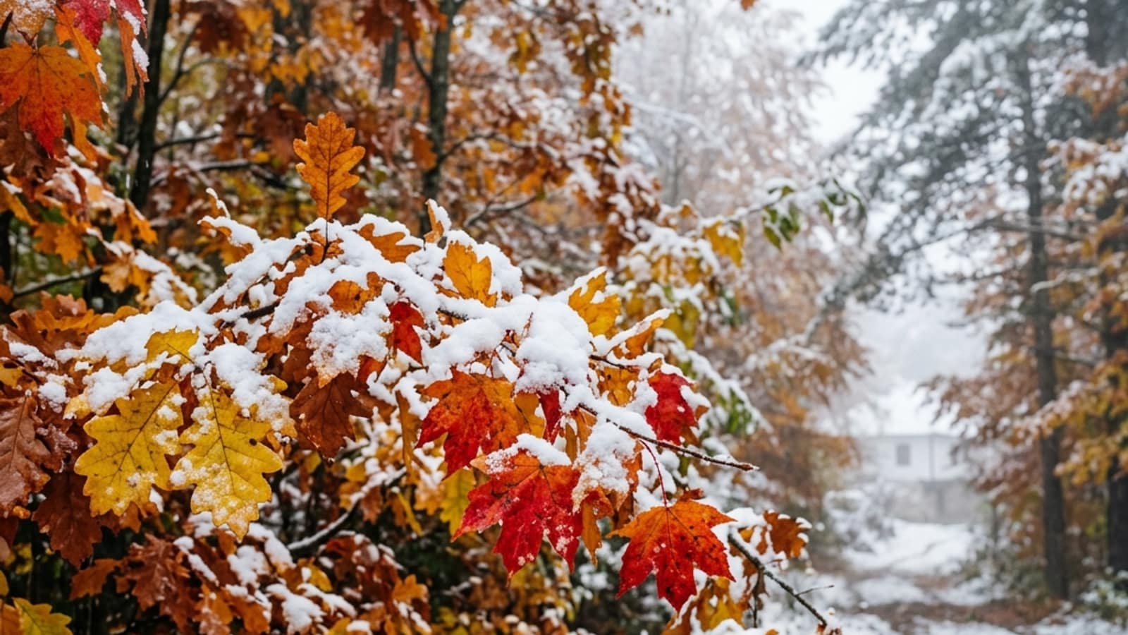
The first snow in North Macedonia usually falls first in the high mountains in late autumn, often in October and November, while lowland cities like Skopje, Bitola and Veles get their first snow towards the end of November or in December. The exact timing differs every year and depends on elevation and the weather.
Where does the first snow fall?
Snow almost always starts in the mountains. The high massifs like Šar Planina, Bistra (above Mavrovo) and Pelister are cold enough for snow while the lowlands are still warm. It is not unusual for the peaks to turn white in autumn while the cities are still enjoying autumn weather.
The lowlands come later. The cities in the valleys usually see their first snow once winter has properly set in.
Why do the mountains get snow first?
The main reason is elevation. Air temperature falls as you climb higher, so the peaks are cold enough for snow much earlier than the lowlands. That is why the same weather system can bring rain to the city and snow to the mountain on the same day.
The terrain helps too: the mountains force air masses to rise and cool, which favours snowfall at altitude.
When to expect the first snow in your city
Lowland cities (Skopje, Veles, Strumica)
Here the snow usually arrives towards the end of November or in December, and often does not last long, especially in the warmer southern parts.
Higher towns (Bitola, Kruševo, Berovo)
These places sit higher and closer to the mountains, so the snow arrives earlier and lasts longer than in the warm valleys.
Mountain places (Mavrovo, Pelister, Šar Planina)
Here the snow often falls as early as autumn and stays throughout the winter, which is what makes winter sports possible.
Can the first snow be predicted exactly?
The exact date of the first snow cannot be booked in advance: it changes every year with the weather. What can be said is what is typical: the mountains first, the lowlands later. To know whether snow is coming in the next few days, follow the current forecast for your city.